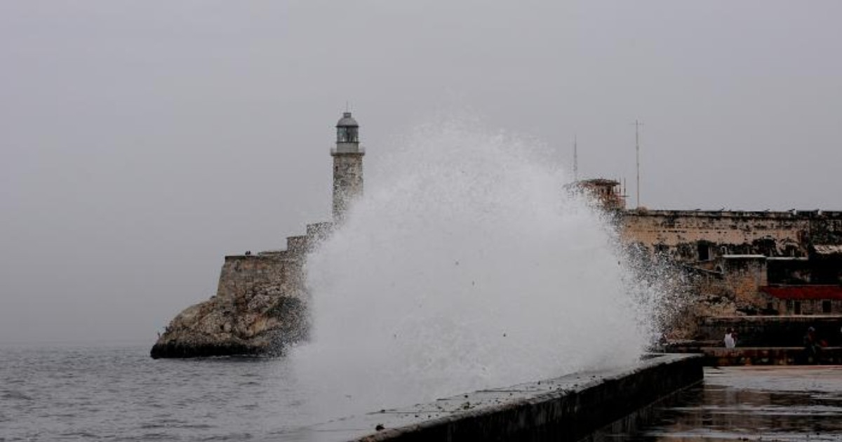
Cuba is bracing for an atypical winter from November 2026 through April 2027, marked by an increased frequency of cold fronts, substantial rainfall, significant temperature drops, and a heightened risk of severe weather events.
Forecasts suggest the possibility of strong winds and coastal flooding, particularly during certain adverse weather episodes.
This forecast was unveiled on Monday at the 16th National Climate Outlook Forum, held at the headquarters of the National Civil Defense Staff, according to a report by the state-run newspaper Granma. The projections were developed by experts from the Institute of Meteorology (INSMET).
Specialists attribute the expected conditions to the interaction of two atmospheric factors: a powerful El Niño-Southern Oscillation (ENSO) in the equatorial Pacific Ocean and the weakening of the Arctic polar vortex.
These conditions may alter atmospheric circulation over North America and the Caribbean, increasing the likelihood of frontal systems and cold air masses reaching Cuban territory more frequently than usual.
Experts predict that Cuba could experience a greater number of cold fronts, accompanied by significant precipitation, followed by the influence of migratory continental anticyclones.
These anticyclones, or high-pressure systems, move from North America and can usher in cooler air into the Caribbean following the passage of cold fronts.
From December onwards, cold air masses could invade Cuba, potentially causing notably low minimum temperatures.
For February and March, forecasts indicate a possible rise in extratropical low-pressure systems in the Gulf of Mexico, which could increase the occurrence of heavy rains, strong winds, and other severe weather events.
Coastal flooding remains a concern for low-lying areas along the northern and southern coasts.
Idalmis González, a master in science and head of INSMET's Climate Center, noted that El Niño could peak between November 2026 and January 2027.
During this time, the subtropical jet stream may shift further south and east, fostering the development of adverse weather systems in the southern United States, the Gulf of Mexico, and the Caribbean.
According to the outlook, western Cuba is particularly vulnerable to these atmospheric conditions, especially due to the influence of low-pressure systems and frontal systems.
Another aspect under consideration is the behavior of the Arctic polar vortex, a vast circulation of cold air at high latitudes.
If this structure weakens or becomes distorted, it can facilitate the movement of extremely cold air masses towards more southern regions of North America, potentially impacting the Caribbean afterwards.
INSMET's projections also highlight significant differences in rainfall distribution depending on the winter stage and the region of the country.
Between November 2026 and January 2027, above-average rainfall is expected in the west, near-normal levels in the center, and below-average precipitation in the east.
However, this pattern is expected to change during the period from February to April 2027, when rainfall totals could exceed historical averages across all three Cuban regions.
This distinction is crucial as the forecast does not predict above-average rainfall nationwide throughout the six months, but rather a variable pattern based on the stage and geographical area.
Regarding temperatures, specialists suggest that both maximum and minimum values may fall below historical averages during February and March in the west, center, and east.
This does not imply that every day during these months will be cold, but rather that the average conditions for the period could be lower than usual.
The outlook presented on Monday aligns with previous warnings from Cuban meteorologists about the potential impact of El Niño during the 2026-2027 winter.
In June, meteorologist Yosmelvi Páez Cornell cautioned that Cuba could face a winter marked by heavy rainfall, tornadoes, and severe storms due to the changes this phenomenon induces in atmospheric circulation.
The specialist explained that although El Niño generally reduces tropical cyclone activity in the Atlantic, it can increase the frequency of cold fronts and storms over the Caribbean during winter.
Potentially associated phenomena include prefrontal storm lines, strong wind gusts, isolated hail, and waterspouts.
As a precedent, during the winter of 2009-2010, also influenced by El Niño, Cuba recorded seven cold fronts in February 2010, more than double the historical average for that month, which stands at approximately 3.34 systems.
The historical seasonal average for cold fronts affecting Cuba is around 19.5, with one of the highest records being the 1976-1977 season when 35 systems arrived.
In August, other specialists warned about the various risks associated with El Niño for Cuba's climate, including changes in precipitation, extreme temperatures, and the potential for an especially active winter season.
Monitoring this phenomenon has been a priority for INSMET's Climate Center due to its ability to alter the typical behavior of rainfall and temperatures during both the wet season and the colder months.
Understanding the Impacts of an Unusual Winter in Cuba
What atmospheric factors are contributing to the unusual winter forecast in Cuba?
The unusual winter forecast is attributed to a strong El Niño-Southern Oscillation (ENSO) in the equatorial Pacific Ocean and the weakening of the Arctic polar vortex, which may alter atmospheric circulation and increase cold fronts and severe weather in Cuba.
How might El Niño affect Cuba's winter weather?
El Niño is expected to peak between November 2026 and January 2027, potentially shifting the subtropical jet stream south and east. This could lead to more adverse weather systems in the southern United States, the Gulf of Mexico, and the Caribbean, affecting Cuba with increased cold fronts and storms.
What weather conditions are anticipated in Cuba's western region?
Western Cuba is expected to experience above-average rainfall between November 2026 and January 2027, with a vulnerability to low-pressure systems and frontal systems. This region may face significant weather impacts due to these conditions.