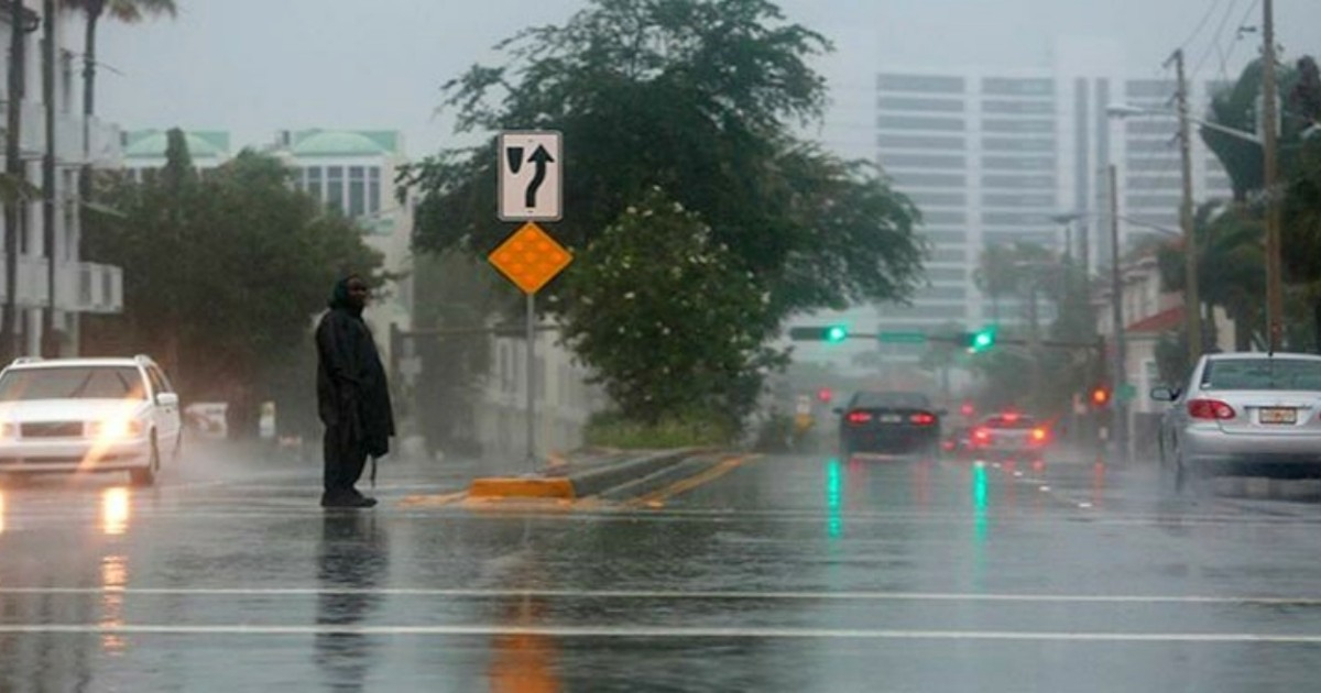
This weekend, a cold front will push through South Florida, delivering heavy rainfall, strong winds, and hazardous surf conditions, though temperatures are not expected to drop as is typical with these systems, according to meteorologist Dainet Sierra from Telemundo 51.
Temperatures on Friday remain near 90°F, with high humidity and scattered storms in the afternoon, primarily affecting the interior and southwestern parts of the peninsula.
The most significant changes are anticipated on Saturday when the front interacts with the region's abundant tropical moisture, promoting widespread showers and thunderstorms.
Miami-Dade, Broward, and Palm Beach counties are most at risk, with potential rainfall accumulations of two to four inches over 24 hours.
The Weather Prediction Center continues to place parts of South Florida under a marginal risk of excessive rainfall, rating it a level 1 out of 4.
"While widespread flooding is not expected, repeated rounds of storms over the same area could lead to sudden, localized flooding, especially in urban areas with poor drainage," Sierra warned.
Total rainfall through Monday could range from three to five inches, with isolated spots in Palm Beach County seeing up to six inches. A recent weekend in Miami experienced up to five inches of rain, demonstrating how quickly these systems can overwhelm urban drainage.
Sunday will mark the most significant change concerning winds. After the front passes, winds will shift to the northeast and strengthen.
"Gusts could reach 20 to 30 mph in various parts of the region, even as the rain begins to let up," noted the meteorologist, adding that a strengthening high-pressure area north of Florida will keep windy conditions in place until mid-next week.
The most dangerous conditions will be concentrated along the coast. The National Weather Service in Miami has issued a small craft advisory from late Saturday through early Monday.
Wave heights, currently at two to three feet, could rise to seven to ten feet over the weekend. "Over the water, some gusts could approach gale force, creating hazardous conditions for boats," Sierra warned.
Beachgoers will also face an increased risk of rip currents, a major threat in Miami-Dade and Broward during persistent northeast winds.
Despite its classification, this system will not bring the cold temperatures its name might imply. "Although meteorologically it's a cold front, the air mass following the system won't be cold enough to cause a significant temperature drop," Sierra explained.
Highs will decrease from nearly 90°F on Friday to the 80s over the weekend and could remain in the low to mid-80s during the early days of the following week, far from the historic chill that Florida experienced in January 2026, when Miami nearly reached 32°F.
Rain chances will gradually diminish after the front passes, although the persistent northeast flow may bring some showers to the eastern metropolitan coastal areas during the first days of the upcoming week.
Key Questions About South Florida's Upcoming Weather
Will the cold front bring a temperature drop to South Florida?
No significant temperature drop is expected with this cold front. While technically a cold front, the following air mass will not be cold enough to lower temperatures considerably.
What areas are most at risk for heavy rain?
Miami-Dade, Broward, and Palm Beach counties are most vulnerable to heavy rainfall, with potential accumulations of two to four inches in 24 hours.
How will the winds change after the front passes?
After the front passes, winds will turn to the northeast and strengthen, with gusts potentially reaching 20 to 30 mph.