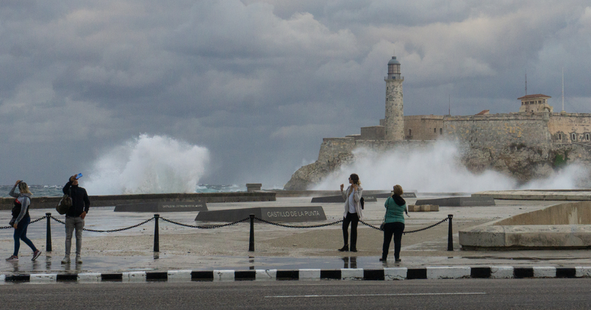
The Cuban Meteorology Institute (INSMET) has issued a warning that a frontal trough will impact the western region of Cuba for at least three consecutive days, bringing showers and rain starting Thursday.
According to a Facebook update from the institute, this weather pattern is described as "remnants of a dissipating front," which involves an extratropical low over the western Atlantic. This system is forecasted to slowly move down the Florida peninsula on Thursday and Friday, positioning itself near Cuba's northern coast by Saturday.
INSMET clarified any potential confusion by stating, “This is not a cold front, but it can still lead to rainfall. Stay tuned to official updates.”
Temperatures are not expected to drop significantly; they will remain warm, albeit slightly cooler due to cloud cover and precipitation.
Infrastructure Struggles Amid Heavy Rainfall
The alert comes at a particularly critical time for Havana and western Cuba, where deteriorating drainage infrastructure turns every heavy downpour into an urgent situation.
On Wednesday, just an hour of rain was enough to flood several streets in Central Havana. Residents described the scene vividly: "They are rivers, flooded rivers," while a tractor was utilized to ferry people across the inundated Santa Ana area.
Local residents repeatedly highlight the structural issue: "When it rains heavily here in Havana, everything floods because all the drains are clogged, so the water has nowhere to go."
Recurring Flooding Events
This recent episode is part of a series of similar incidents that occurred in September. On the 11th of that month, José Martí International Airport recorded 71.8 millimeters of rain in just one hour.
Two days later, over 300 millimeters of rain fell within 24 hours in certain parts of the capital, resulting in the complete collapse of 26 homes, partial damage to 122 others, and leaving more than 250,000 customers without electricity.
During that event, 148 individuals had to be accommodated in state facilities, while 762 others evacuated to stay with relatives or friends.
Historically, September is one of the rainiest months in Cuba, with average precipitation of 174 millimeters in the west, as reported by the Cuban News Agency, coinciding with the peak of the Atlantic hurricane season.
Potential for Cyclonic Development
The situation could worsen in the coming days, as meteorological sources indicate that starting Saturday, atmospheric conditions might promote the formation of a low-pressure center with potential cyclonic development, posing increased risks in low-lying areas, poorly drained zones, and near rivers and canals in western Cuba.
Meteorological Concerns and Public Safety
What is the cause of the expected rainfall in Western Cuba?
The expected rainfall is due to a frontal trough, which is the remnants of a dissipating front and an extratropical low over the western Atlantic moving towards Cuba.
How is Havana preparing for potential flooding?
Despite the deteriorating drainage infrastructure, local authorities and residents are on alert, utilizing available resources like tractors for emergency transport in flooded areas.
Why is September particularly rainy in Cuba?
September is one of the rainiest months in Cuba, coinciding with the peak of the Atlantic hurricane season, leading to higher precipitation levels.