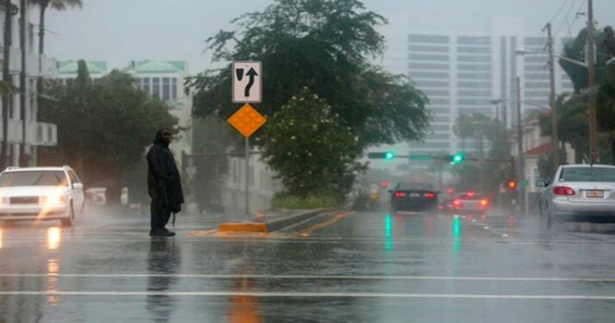
Residents in South Florida are bracing for a day filled with heavy rain, thunderstorms, and extreme heat this Monday. Areas such as Miami-Dade and Broward are particularly at risk, according to a forecast by meteorologist Dainet Sierra from Telemundo 51.
The likelihood of rain stands at 80% for the day, with rainfall totals expected to range between 0.25 and 0.50 inches. However, certain areas may experience even higher amounts.
Most of the storm activity is projected for the afternoon into the early evening when sea breezes will ignite storm cells.
Weather Conditions and Flood Risks
“The combination of heat, tropical humidity, and weak winds will once again create the perfect scenario for another round of intense storms this Monday,” warned Sierra.
Due to minimal wind flow, many of these storms will move slowly, increasing the risk of localized flooding, especially along the east coast.
High temperatures are expected to reach around 90 °F, but the heat index could soar to 103 °F, with southern winds barely reaching three to seven mph.
Flash Flood Alerts Along I-95 Corridor
A report from the Florida Public Radio Emergency Network, shared by WMNF, indicates that the greatest threat of flash floods is situated along the I-95 corridor, stretching from Jacksonville to Miami.
Meteorologist Irene Sans of FPREN noted that a surge of moisture from the south and an unusual frontal boundary for late July is causing storm activity across the peninsula.
“Some storms could become severe, with the primary danger being wind gusts of at least 58 mph,” Sans stated, also advising, “Avoid any flooded areas, especially those prone to quick saturation.”
Rainfall will move slowly from west to east, meaning that significant rainfall could repeatedly affect the same areas, heightening the risk of flash flooding.
Welcomed Rain Amidst Historic Drought
This rainy pattern arrives at a crucial time for Florida, which has been grappling with severe drought for months. By mid-July, nearly 99% of the state was experiencing some level of drought, with 85% in severe conditions or worse, and the Everglades facing one of their most challenging water situations in 25 years.
The Tampa Bay area, extending north to Punta Gorda, is under extreme drought, and interior areas of Miami-Dade and Broward have also seen worsening conditions in recent weeks.
Forecasts suggest some Gulf Coast areas could receive between 3 and 5 inches of rain from Sunday through Thursday, a development Sans described as “highly welcomed, especially since much of the rain is expected to fall on the areas that need it most.”
The drought has also fueled nearly 50 wildfires that scorched more than 10,000 acres across the state during the week of July 24.
Forecast for the Upcoming Week
On Tuesday, a similar pattern is expected, with a 50% chance of rain, high temperatures near 92 °F, and heat indices reaching up to 105 °F. Winds are anticipated to blow from the southwest at five to 11 mph, with gusts up to 18 mph.
By Wednesday, the arrival of drier air and Saharan dust is expected to reduce rainfall coverage, leading to more sunshine and highs near 94 °F.
Towards the weekend, however, humidity is predicted to increase across the state, potentially leading to the return of afternoon thunderstorms, particularly around Lake Okeechobee.
Meteorologist Greg Dee from Tampa Bay 28 summed up the weekly outlook: “With the arrival of an unusual late-July front, rain chances look quite promising. Good rain coverage extends throughout the week, especially between Thursday and Saturday.”
Understanding South Florida's Weather Dynamics
What causes the intense storms in South Florida?
The intense storms in South Florida are primarily caused by a combination of heat, tropical humidity, and weak winds, which create favorable conditions for storm development.
Why is the rainfall particularly welcomed at this time?
The rainfall is welcomed due to the severe drought conditions affecting Florida, with nearly 99% of the state experiencing some level of drought, making the rain crucial for relief.
What areas are most at risk for flash flooding?
The I-95 corridor, from Jacksonville to Miami, is most at risk for flash flooding due to storm activity and the slow movement of rain.
How is the weather expected to change during the week?
As the week progresses, drier air and Saharan dust will reduce rainfall, resulting in more sunshine and increasing temperatures. Humidity is expected to return by the weekend, possibly bringing back afternoon thunderstorms.