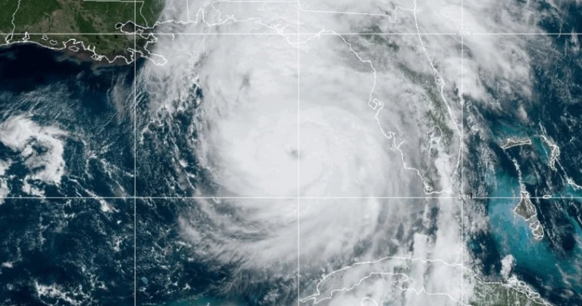
The National Hurricane Center (NHC) has officially announced that the atmospheric disturbance Helene has strengthened into a Category 4 hurricane on the Saffir-Simpson scale, with maximum sustained winds of 130 miles per hour (215 km/h). On the social media platform X, a recent update from the agency highlighted that the storm gained strength while moving over the warm waters of the Gulf of Mexico.
"A NOAA hurricane hunter aircraft currently investigating Helene has recently found that maximum sustained winds have increased to 130 mph (215 km/h). The minimum central pressure has also dropped to 947 mb (27.96 inches) according to dropsonde data," stated the NHC. The storm had just upgraded to a Category 3 hurricane a few hours prior.
Impending Landfall and Severe Weather Warnings
Helene is projected to make landfall tonight, bringing heavy rainfall, powerful winds, and dangerous storm surges. The northern Florida coast, particularly the region known as the "Big Bend," is bracing for the hurricane's impact.
According to the National Oceanic and Atmospheric Administration (NOAA), catastrophic storm surges are likely along the Big Bend coast, with potential flooding reaching up to 20 feet (6.1 meters) above ground level.
