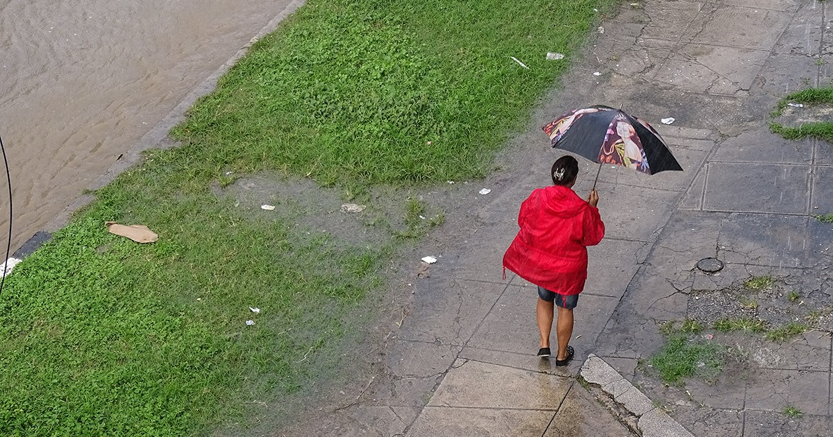
From Friday through Sunday, rainfall will intensify in Cuba's eastern and central regions due to a tropical wave impacting the country, the Forecast Center of the Institute of Meteorology warned on Thursday.
The notice specifies that starting Friday, cloudy areas with showers, rain, and thunderstorms will increase, potentially becoming strong and intense in some localities of eastern and central Cuba. These conditions will extend to the western region on Saturday and Sunday.
The Cuban Civil Defense issued a statement on the social media platform, X, warning that in areas experiencing showers and thunderstorms, there could be strong wind gusts and even severe local storms. "Special attention should be paid to potential flooding in low-lying and poorly drained areas."
"Rainfall, which will be the most significant element for Cuba, is associated with the active tropical wave currently located over the Dominican Republic," the notice stated.
It also emphasized that in recent hours, the area of cloudiness with showers, rain, and thunderstorms has increased within the system, affecting Hispaniola, the southern Bahamas, adjacent seas, and the northern portion of the eastern Caribbean Sea on Thursday.
"In the next 24 to 48 hours, a low-pressure area will form within the tropical wave, close to or over national territory. This system will move west and west-northwest over eastern Cuba on Friday, June 2, and over the central and western parts of the country on Saturday, June 3," the Forecast Center's report pointed out.
It also indicated that the low is expected to move into the Florida Straits from Saturday afternoon and later into the southeastern Gulf of Mexico, where it could find favorable conditions for tropical cyclonic development and potentially become a Tropical Depression or Tropical Storm, with a more northward movement starting Sunday, June 4.
The Forecast Center emphasized that close monitoring of this system would continue, given its forecasted path near or over Cuba and somewhat favorable oceanic and atmospheric conditions for tropical cyclonic development.
"A subsequent Special Notice or Tropical Cyclone Notice will be issued if necessary," the notice indicated.
Meteorologist Elier Pila Fariñas specified on the social media platform, X, that heavy rain is forecast for Friday and Saturday.
The National Hurricane Center has maintained close monitoring of this disturbance as it passes through the Atlantic in recent days.
Cuban Weather Alert: Key Questions Answered
Given the approaching tropical wave and the potential for severe weather, many have questions regarding what to expect. Here are some critical points of interest:
What areas in Cuba will be most affected by the tropical wave?
The eastern and central regions of Cuba will see the most significant impact, with heavy rain, thunderstorms, and potential strong wind gusts. These conditions will spread to the western region by the weekend.
When will the low-pressure area form, and what is its potential impact?
A low-pressure area is expected to form within the tropical wave in the next 24 to 48 hours, moving west-northwest over eastern Cuba on Friday, June 2, and over central and western Cuba on Saturday, June 3. It could develop into a Tropical Depression or Tropical Storm by Sunday.
What precautions should residents take during this weather event?
Residents should remain vigilant about potential flooding, especially in low-lying and poorly drained areas. It's also advisable to secure loose objects that can be blown by strong winds and stay informed through official weather updates.
